


Miyagi
Region: Bear Mountain
Distance: 2 miles + 534’
Difficulty: Easy
ACA Rating: 3AI
Duration: 1.5-3 hours
Longest Rappel: 60’
Rope: 1 x 60’ + 1 x 60’ Pull Cord
Anchor Materials: 35’ of webbing + 4 rapides
Parking: Park at Bear Mountain TH Pay for parking at kiosk, additional parking available along the road.
Overview: An easy to access route with straightforward rappels make this a great introduction to Sedona Canyoneering. Beginner to intermediate canyoneers should make easy work of this short but engaging route. This is one of my top picks when I take out first timers.
Short rappels
Easy starts/dismounts
Link up with Bobcats, Sun Bear, or Half Dilly
A safe beginner or bail out option
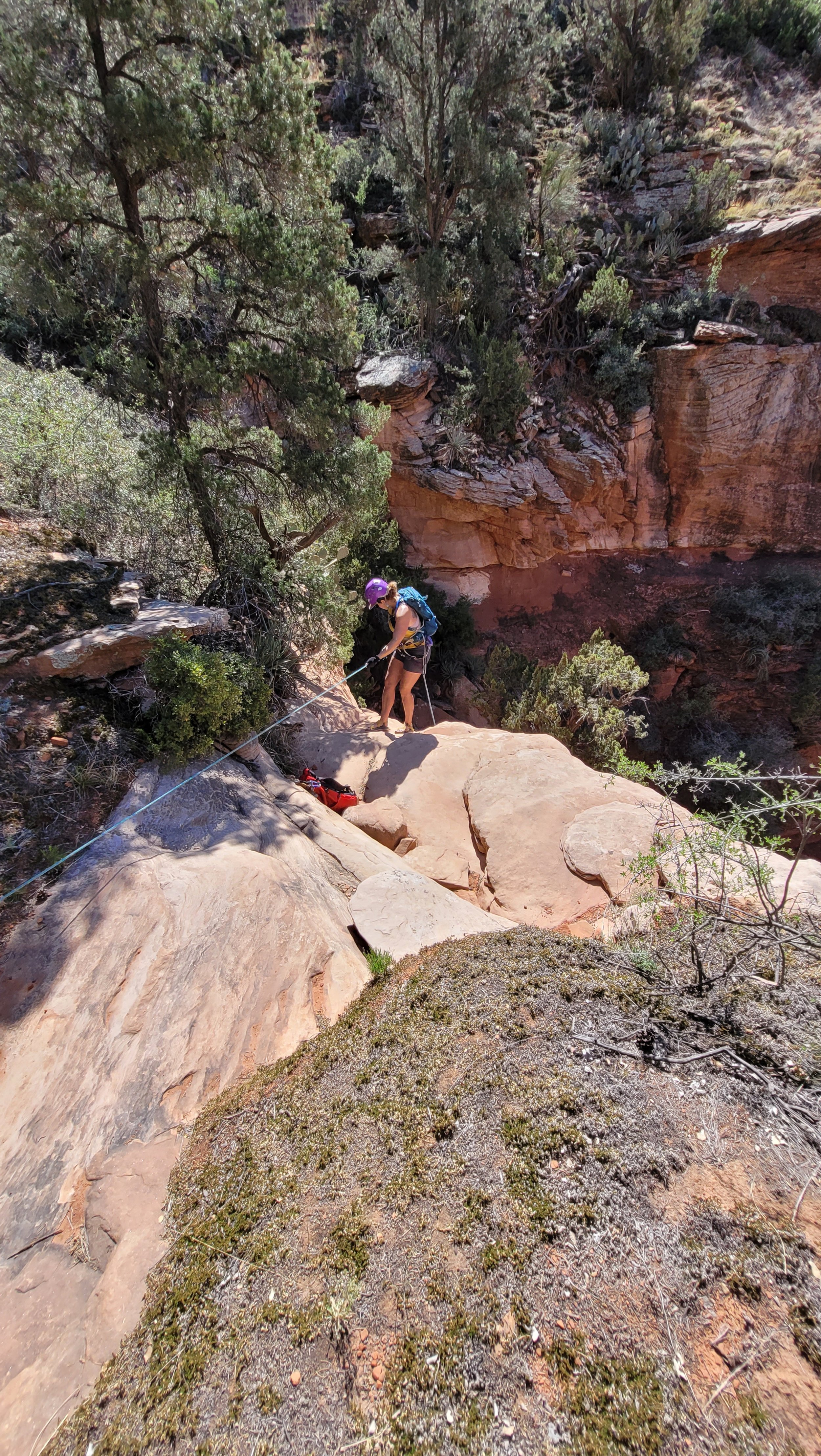
Approach (Easy 30-45 min.): From Bear Mountain Trailhead cross over the road and through the gate heading North towards the First Bench. In just under a mile or about 25 minutes at a casual pace, you will reach the top of the Rancho Rojo layer. This first plateau is referred to as the First Bench. The trail will go up just a bit more and toward a large sandstone tower on your right/ East side. The trail will soon bend left or west and you will pass a large boulder on your left side. Keep your eyes peeled for the social trail on your left. Soon you will reach an obvious shallow drainage/ ditch that cuts across the trail, leave the trail here being mindful of sensitive terrain and vegetation.
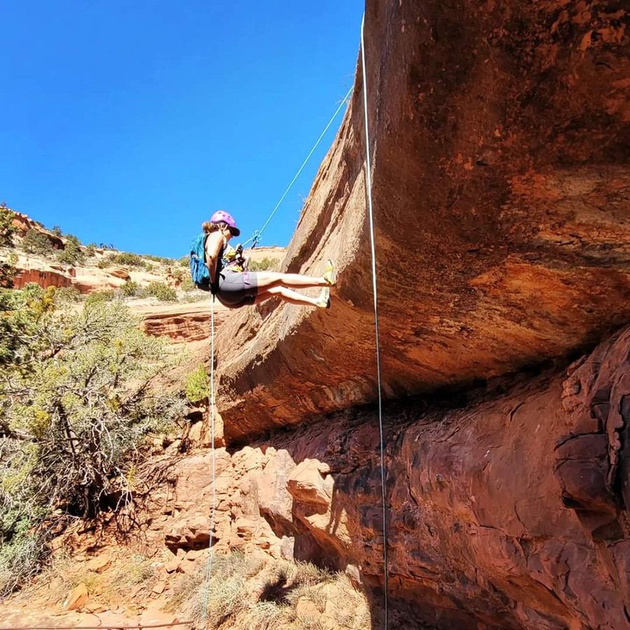
Descent (1hr +): 4 Rappels under 50 feet and a few introductory downclimbs down a prominent watercourse. From the head of the obvious drainage you will soon encounter a 30’ sandstone section that looks a little steep at first, but is easily negotiated and downclimbed. Walk a short distance to the next obstacle in the watercourse, another downclimb of about 15’ will land you on a comfy shaded ledge and the first rappel.
R1: 35’ off a Tree LDC.
R2: 50’ off a Tree LDC.
R3: 60’ Off a Tree set back. This rappel is easiest done LDC onto a sturdy boulder pile. Rappeling RDC will land you on steep slab that can be downclimbed. 60’ when wet or icy.
R4: 50’ off Bolted Anchor, last 10’ is overhung.
Exit (30-45 min.): Gear down at last rappel and head down the drainage eventually arriving at the confluence with Bobcat’s drainage on your Right. Continue down the main wash a short distance until you near the cliffs on the left, then at the exit pin take a left up a 15 foot hillside and out of the drainage. Hike a short distance through sparse catclaw and patches of prickly pear cactus, avoiding deep trenches on your right or south side. Keep left, staying between the cliffs on your left and deep ditches on your right, and soon you will re-connect with Bear Mountain Trail. Trying to cut across the meadow to the right and back to the road is not recommended. A series of deep trenches protect this terrain and will make this seemingly short and direct passage less enjoyable.
Coordinates:
Turn Off: 34.90038, -111.87114
Exit Drainage: 34.89612, -111.87265